
Q-quatics participated in the ASEAN ENMAPS Project Mapper’s Meeting held on 25–26 March 2026 at the ASEAN Centre for Biodiversity headquarters in Los Baños, Laguna. The meeting brought together GIS specialists, scientists, and technical focal persons to review and consolidate key datasets supporting Marine Protected Area (MPA) network planning across ASEAN Large Marine Ecosystems (LMEs).
These datasets included ecological connectivity studies, fisheries monitoring results, perception mapping outputs, species distribution data, and governance and policy information—forming a comprehensive evidence base for spatial planning and conservation decision-making.
From species data to decision-support maps
Q-quatics staff contributed to the consolidation and interpretation of biodiversity datasets:
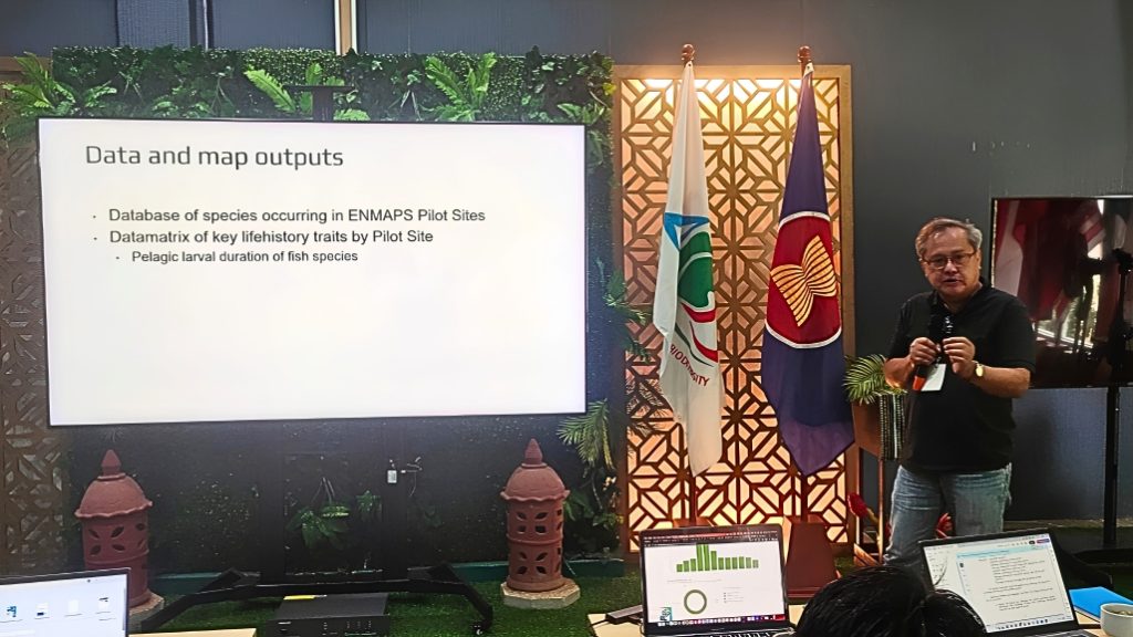
Day 1 – Mr. Rodolfo Reyes, Jr. presented Q-quatics outputs, highlighting species distribution, occurrence, and richness maps that drew strong interest from participants. In the afternoon, Kathy Reyes discussed the richness maps further, focusing on possible drivers influencing changes in species diversity and distribution.
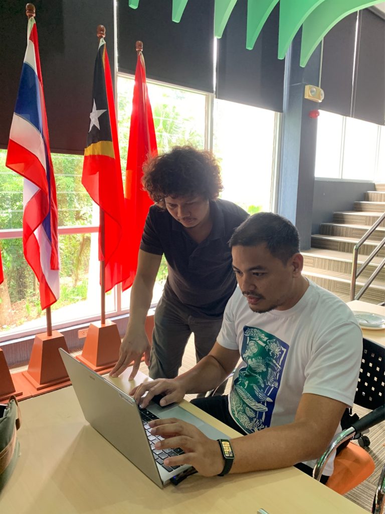
Day 2 – Participants worked on visualizing integrated data layers within the project dashboard and strengthening technical alignment among data providers. Mr. Jeremy Jansalin collaborated with ENMAPS mapper Ozzy on refining shapefiles to be shared with Q-quatics, clarifying dataset contents and structure for future use.
Science informing conservation planning
The consolidated outputs will be developed into geospatial layers, analytical maps, and preliminary spatial configurations to support the Regional Workshop on MPA Network Design in May 2026.
These outputs provide a scientific foundation for marine spatial planning, ensuring that future MPA networks consider:
- ecosystem connectivity
- species distribution and biodiversity patterns
- fisheries-related information
- governance and policy context
- community and human-use considerations
By integrating these diverse datasets, the ENMAPS Project strengthens regional collaboration and evidence-based planning, supporting more effective and coordinated conservation of marine biodiversity across ASEAN Large Marine Ecosystems.
This work supports:
- SDG 14: Life Below Water – improved planning and effectiveness of Marine Protected Area networks
- SDG 17: Partnerships for the Goals – strengthened regional scientific collaboration and data sharing
- SDG 15: Life on Land – through land–sea interface considerations affecting coastal ecosystems
By transforming diverse ecological and socio-economic datasets into integrated spatial products, the ENMAPS Project supports more informed, connected, and science-based decisions for marine conservation and sustainable fisheries across the ASEAN region.